A Scan-to-BIM technician converts laser-scan point clouds of existing buildings into accurate Revit models and drawings. This roadmap covers AutoCAD, Revit, point-cloud modelling, Enscape visualisation and Navisworks review.
Learn to draw and read plans, sections and elevations accurately, so you know what a clean as-built drawing should look like.
Model walls, floors, roofs, structure, families, views and sheets, so you can turn any measured geometry into a proper BIM model and drawing set.
Import and manage point clouds in Revit, set levels and grids from the scan, model elements to the required tolerance and check the model against the scan.
Create quick realistic views and walkthroughs of the existing building and proposed changes for clients and project teams.
Combine the as-built model with new design models, check for clashes between old and new work and prepare review reports.
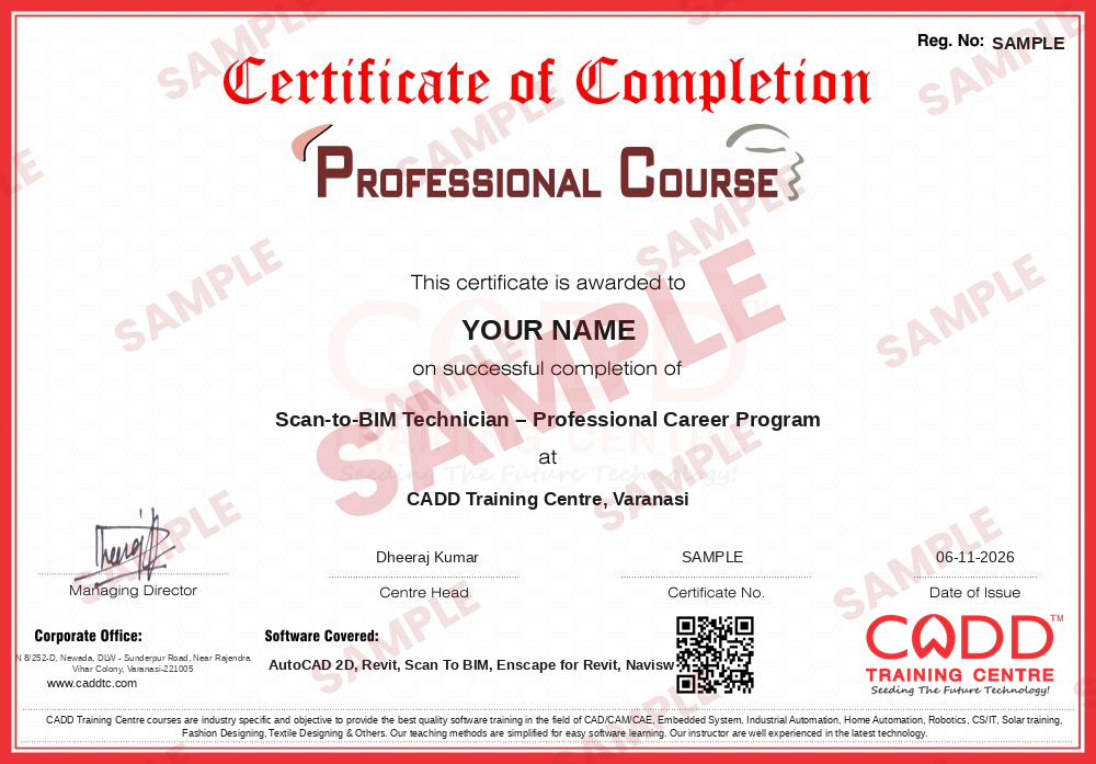
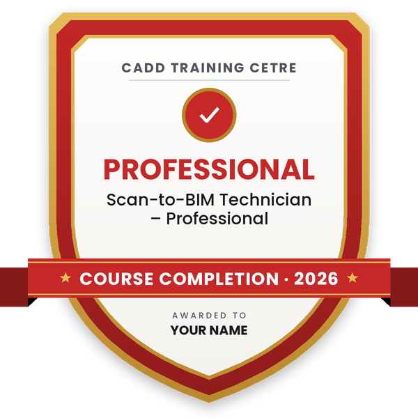
Finish the program and its project — you get the course-completion certificate and a digital completion badge with your name.
Take the certification exam: a theory test on the software of the program and a practical task of the job — at the centre or online.
Pass the exam and get the certified certificate with your marksheet. Anyone can check it online with its QR code.
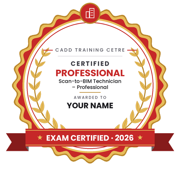
Your certified badge — add it to LinkedIn and share it anywhere; it opens its own verify page.
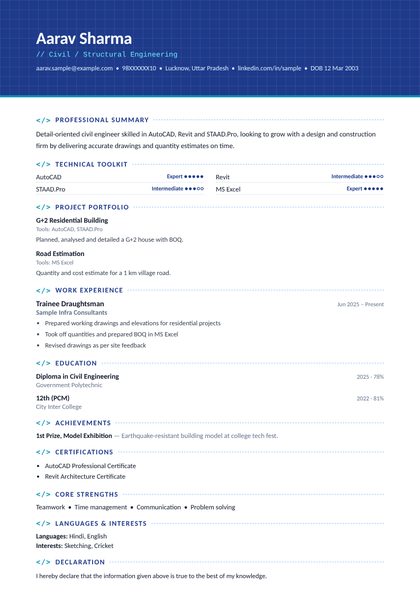
Make your CV in your student panel (Career → My CV) — your program, certificates and projects are added for you. Send it as a link with a preview picture, apply to jobs and answer Hire Me requests from companies.
The counsellor can shorten or extend this plan for your qualification and the time you have. Ask for your personal plan →
Join at the level that suits you — each level is a complete course you can enrol in.
Entry job — the first steps of the roadmap
The whole roadmap — every software of the job
A Scan-to-BIM technician builds models of buildings that already exist. A survey team captures the building with a 3D laser scanner, and you bring that point cloud into Revit, set levels and grids, and model walls, floors, columns, beams, openings, stairs and services to the required level of detail. From the model you then produce as-built plans, sections, elevations and reports.
This work is used for renovation and retrofit projects, heritage buildings, factory and plant upgrades, facility management and checking whether construction matches the design. Technicians work in BIM service companies, survey and scanning firms, architecture and engineering consultancies and companies that deliver as-built models for clients in India and abroad.
Old buildings often have no reliable drawings, and measuring them by hand is slow and error-prone. Point clouds give accurate data, but turning millions of points into a clean, usable model needs patience, good Revit skills and an eye for tolerances. That combination is what this roadmap builds.
Scan-to-BIM is the process of turning a 3D laser scan of an existing building, called a point cloud, into an accurate BIM model in software such as Revit, from which drawings and data are produced.
Learn AutoCAD for drawing basics, then Revit modelling, then point-cloud modelling workflows. Model at least one complete existing building from a sample point cloud for your portfolio.
Not usually. Scanning is often done by a survey team, and the technician works on the point cloud in the office. Understanding how scans are captured does help you judge data quality.
No. Civil engineers, architects and surveyors all work in Scan-to-BIM, and MEP and structural elements also have to be modelled from scans.
The roadmap above usually takes a few months with regular practice. Speed comes from modelling different types of buildings from real point clouds.
Yes. CADD Training Centre runs classroom and live online classes. Point clouds are large files, so a computer with good memory and graphics helps.
More questions? Ask our counsellor or see all career roadmaps.
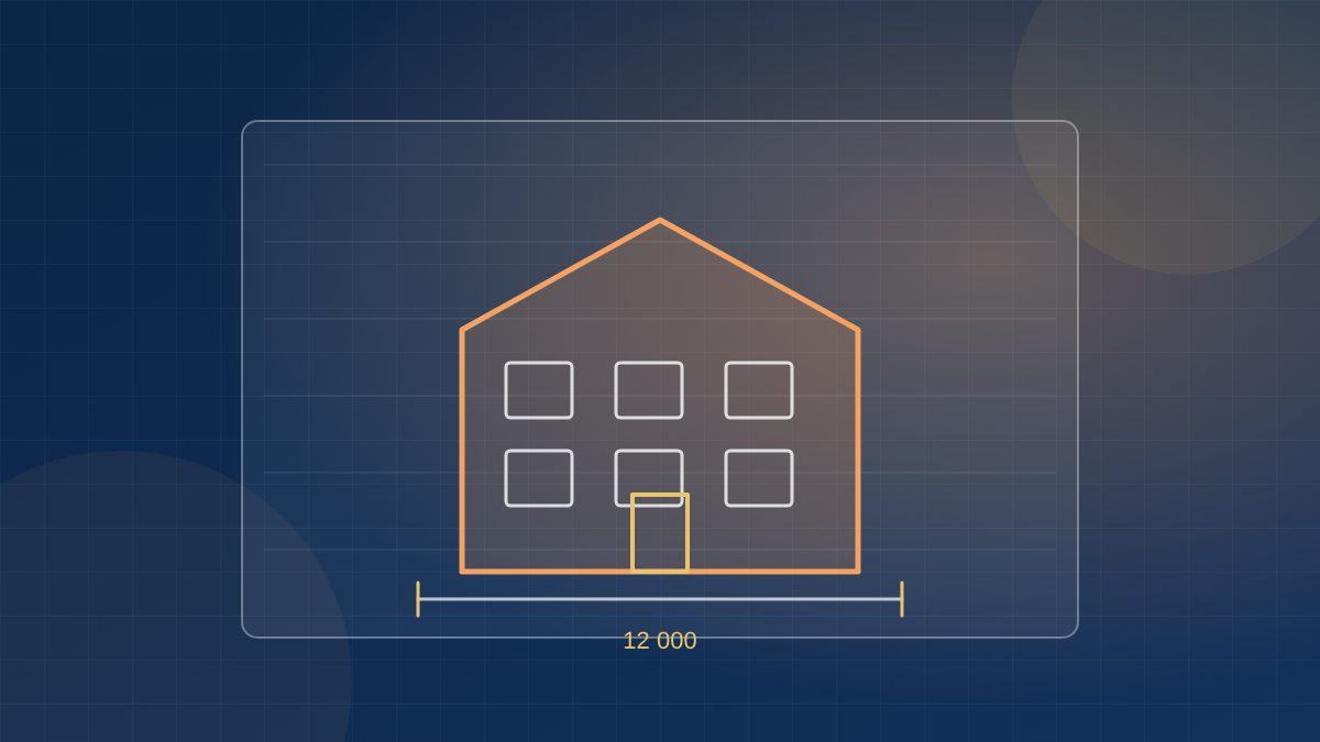 Civil Draughtsman (AutoCAD)A civil draughtsman turns engineers' sketches and site data into accurate building and site drawings. This roadmap takes you from drawing basics to AutoCAD, Civil 3D site plans and an introduction to Revit.
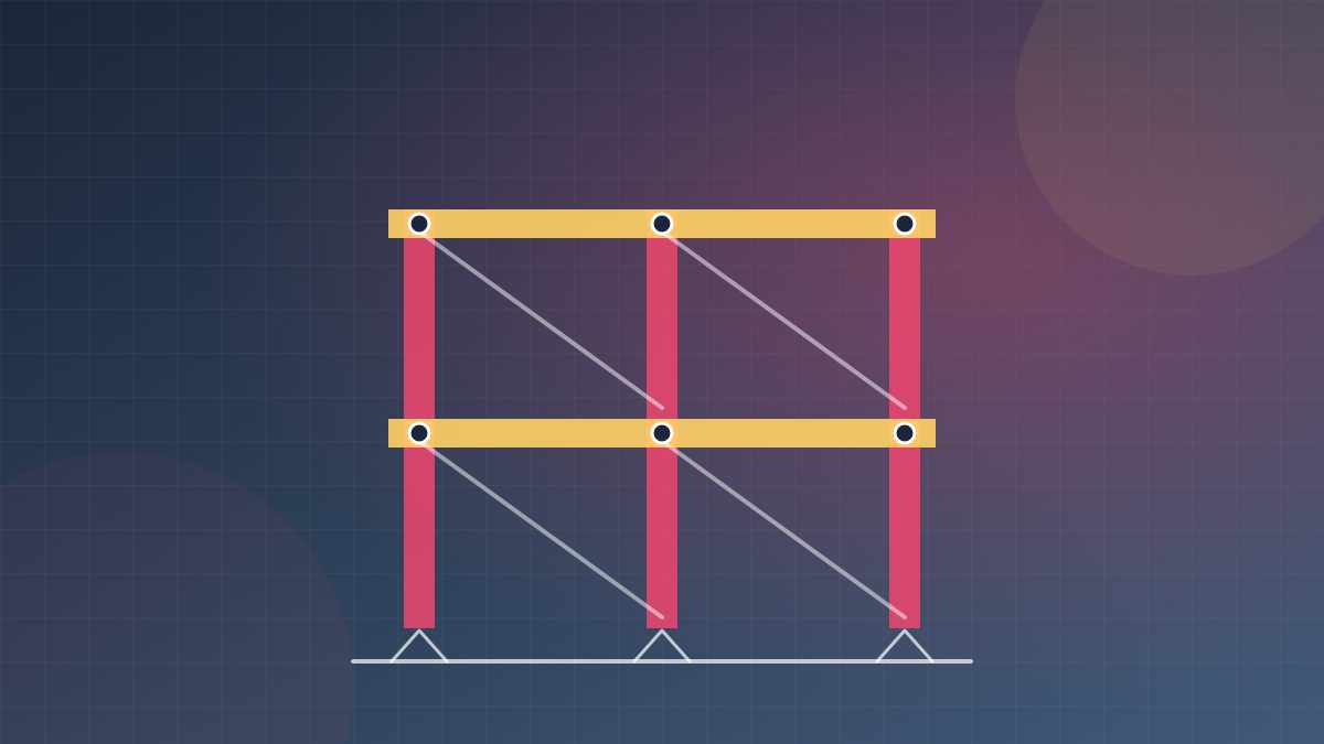 Structural Design EngineerA structural design engineer analyses and designs the frames, slabs, beams, columns and foundations that keep buildings safe. This roadmap builds your skills in STAAD Pro, ETABS, RCDC, foundation design and Revit Structure.
 BIM ModelerA BIM modeler builds intelligent 3D building models that carry the data needed for drawings, quantities and coordination. This roadmap takes you through Revit Architecture, Structure and MEP, Navisworks, Dynamo and cloud collaboration.
 Road & Highway Design EngineerA road and highway design engineer plans the alignment, levels and cross-sections of roads using survey data. This roadmap takes you from AutoCAD to Civil 3D corridor design, survey processing, MXROAD and project visualisation.
 Land Surveyor (CAD)A land surveyor measures land and buildings in the field and turns the data into accurate CAD maps and plans. This roadmap covers field surveying, AutoCAD, Civil 3D surfaces, survey data processing and GIS mapping in Map 3D.
 Project Planning Engineer (Primavera / MS Project)A project planning engineer builds and tracks the schedule that keeps a construction or engineering project on time. This roadmap covers Excel, reading drawings, MS Project, Primavera P6 basics and advanced, and 4D planning.